Europe
Faroe Islands
Overnight we sailed 362 nautical miles (the longest sailing leg of this cruise) to Tórshavn, the capital of the Faroe Islands.
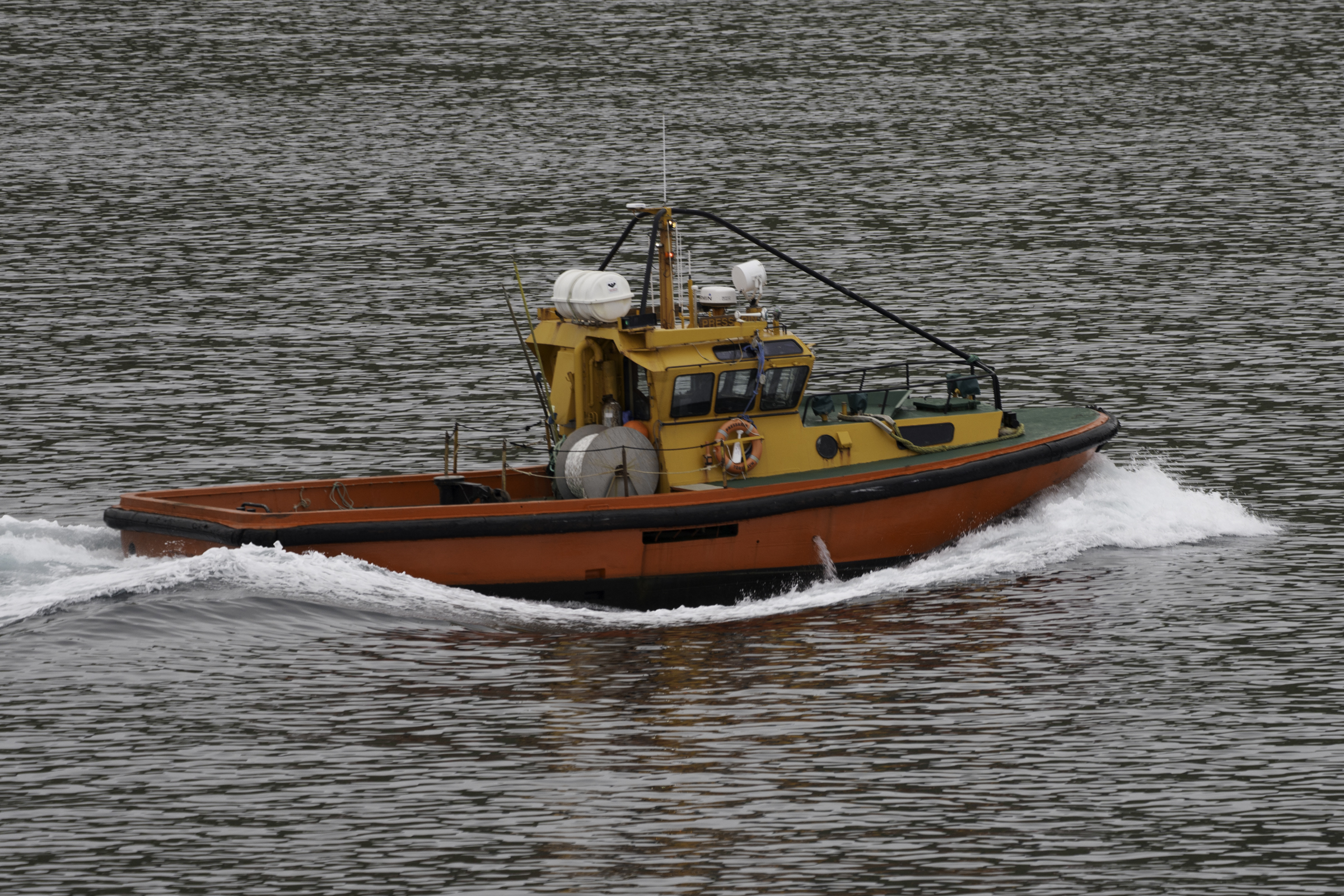
We slept well on the journey, and were up and organised by about 8:30 am. From our balcony, we could see the pilot boat speeding off after having met the ship to allow the port pilot to board.
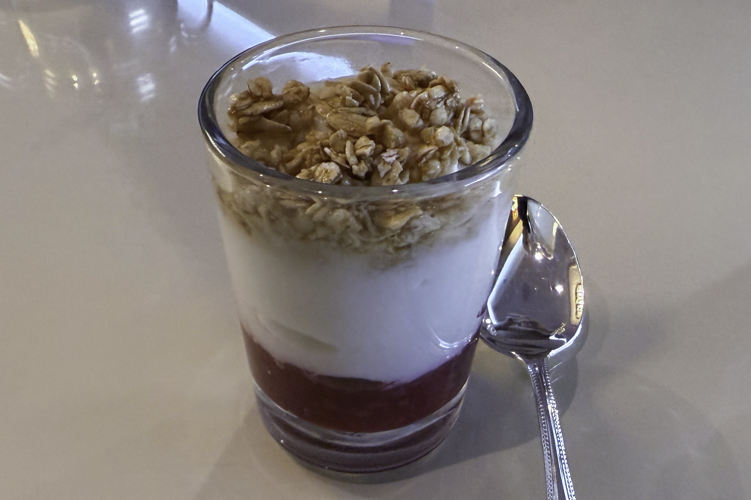
We had time for a quick muesli for breakfast before disembarkation this morning.
By 9:00 am we had docked in Tórshavn, which is located on the southeast side of the island of Streymoy, the largest Faroe island. Tórshavn (which translates to “Thor’s Harbour”) has a population of around 24,000, and was founded around 900 AD by the Norsemen. Today, the Faroe Islands are a self-governing group of 18 islands, under the sovereignty of Denmark.
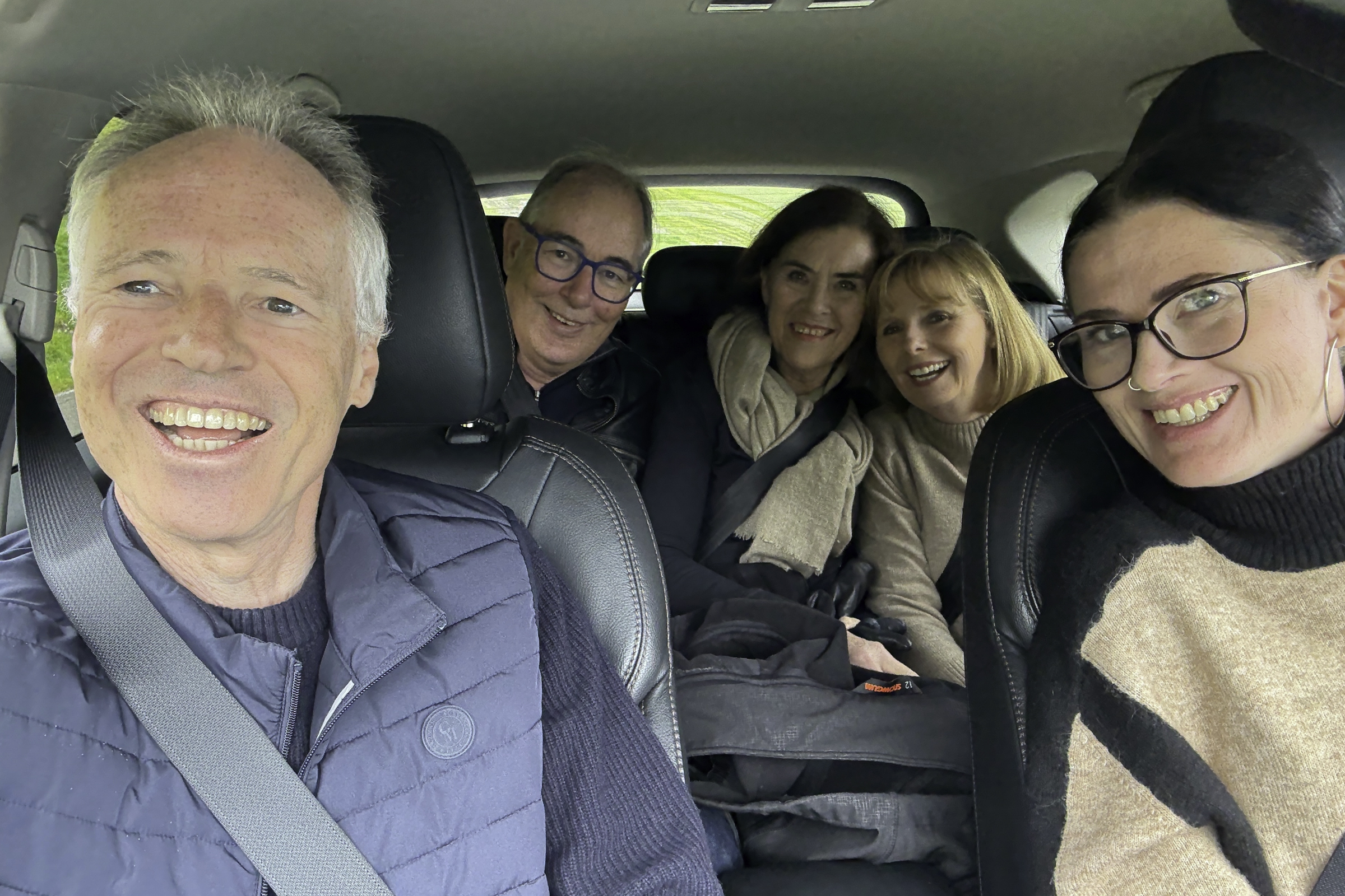
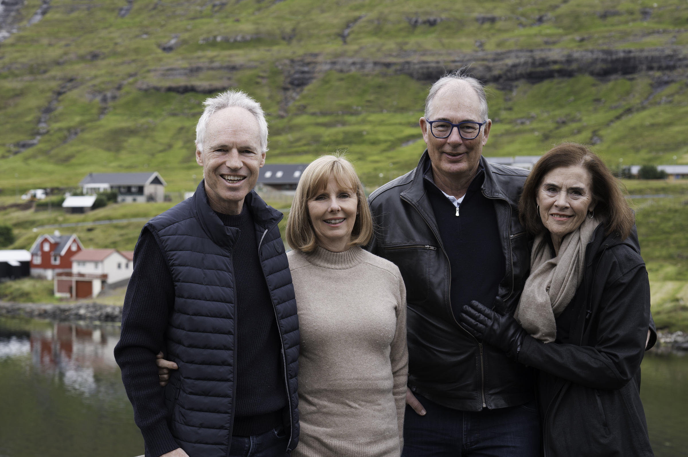
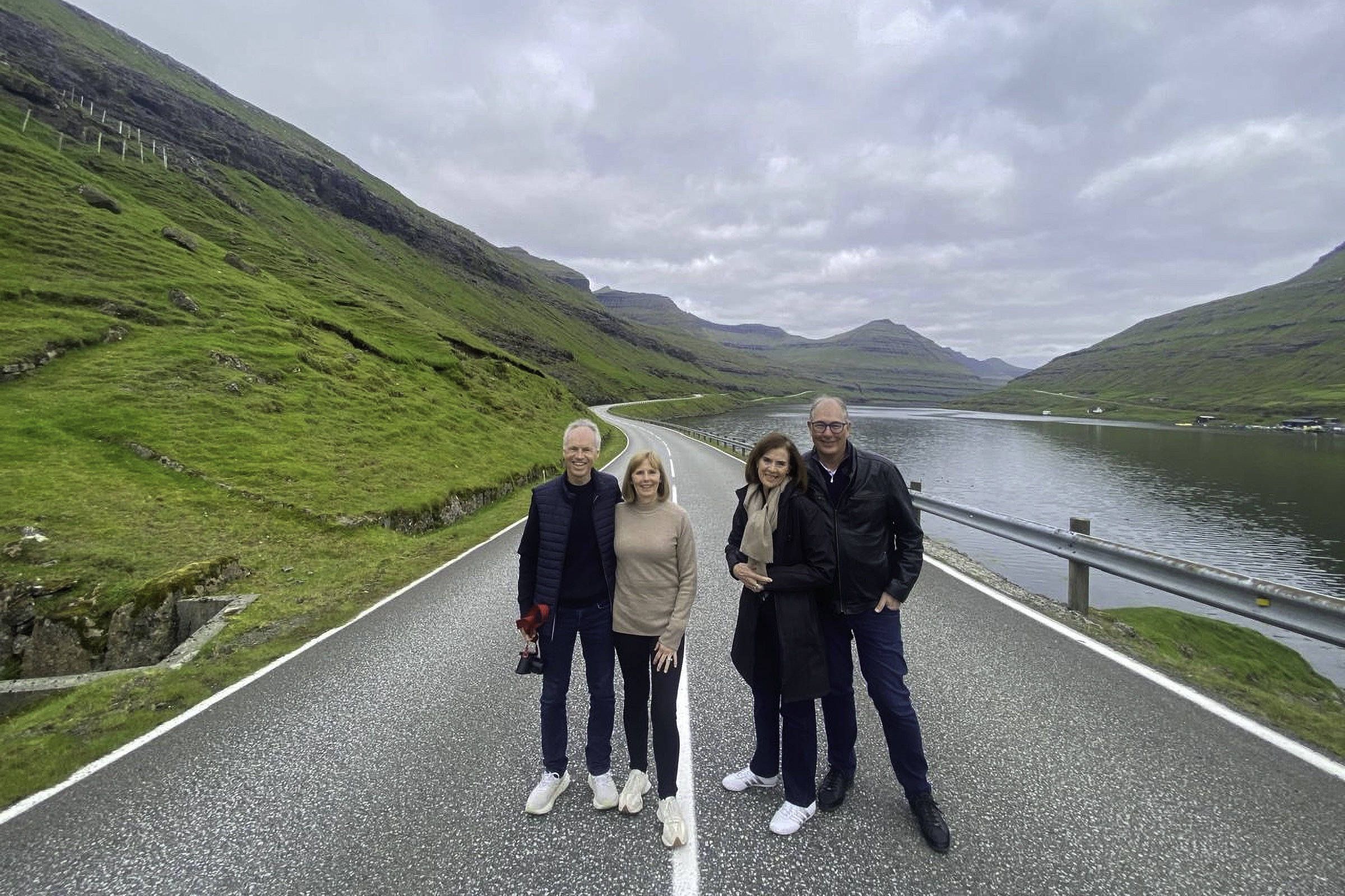
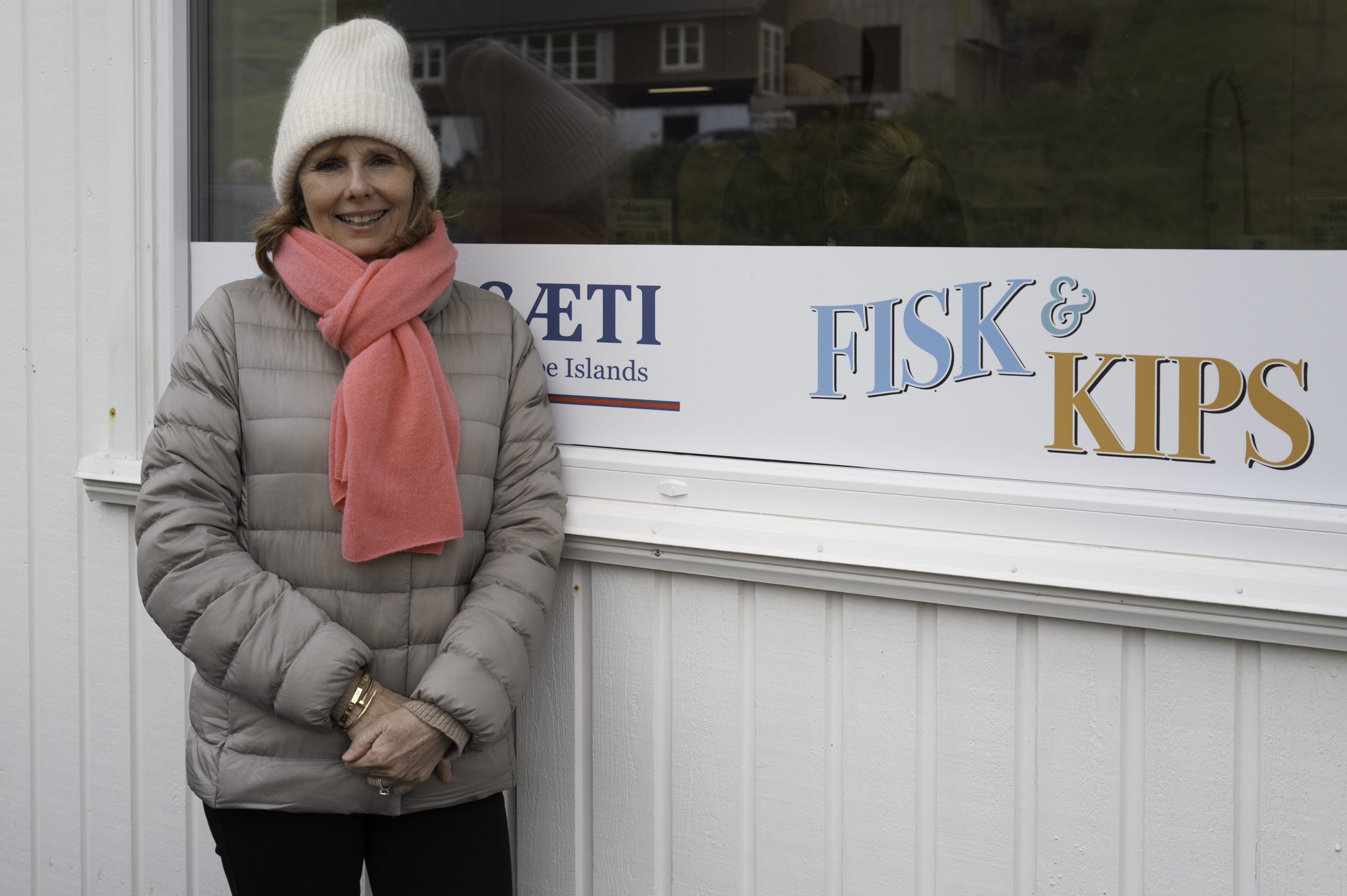
At 9:30 am, we met Ditte, our guide for the day. We (Keith, Andrea, Peter, and Joy) hopped into her car and headed off to explore the Faroe Islands. The car was a bit small for the four of us, but this is what we had, so off we went.
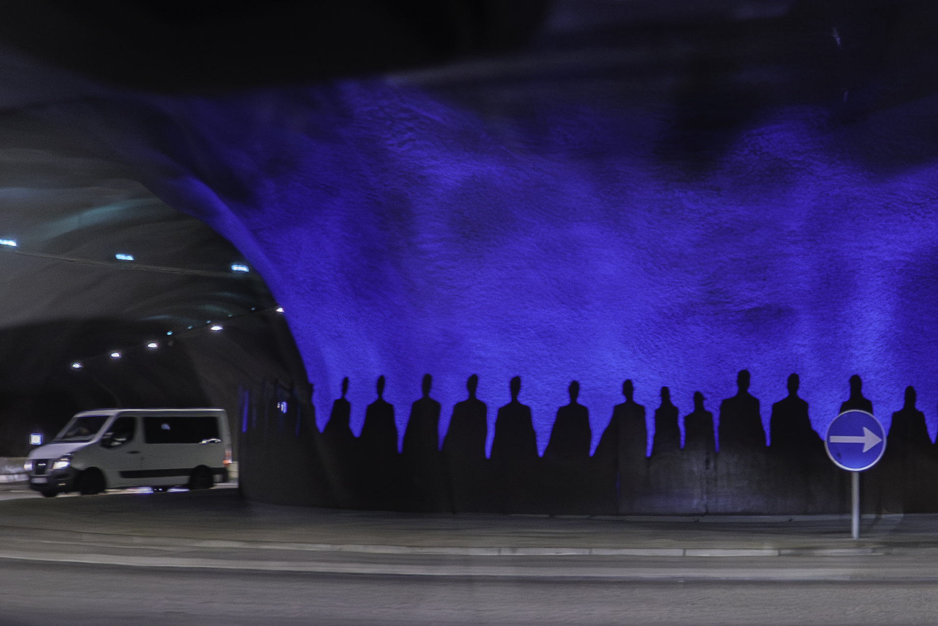
We headed north out of Tórshavn, on our way to the island of Eysturoy. The Faroe Islands are linked by a series of very impressive tunnels. The tunnel linking Streymoy island to Eysturoy island is notable for having the world’s first undersea roundabout, which is about 72 metres beneath the seabed of Skálafjørður (the longest fjord in the Faroe Islands). It is quite an engineering marvel.
Our drive through Eysturoy island took us past the pretty village of Funningur, and along Funningsfjørður, one of the deepest and most beautiful fjords in the Faroe Islands.
The road we climbed up through the fjord was quite spectacular. Ditte referred to it as the “zig-zag road”, and it soon became apparent why!
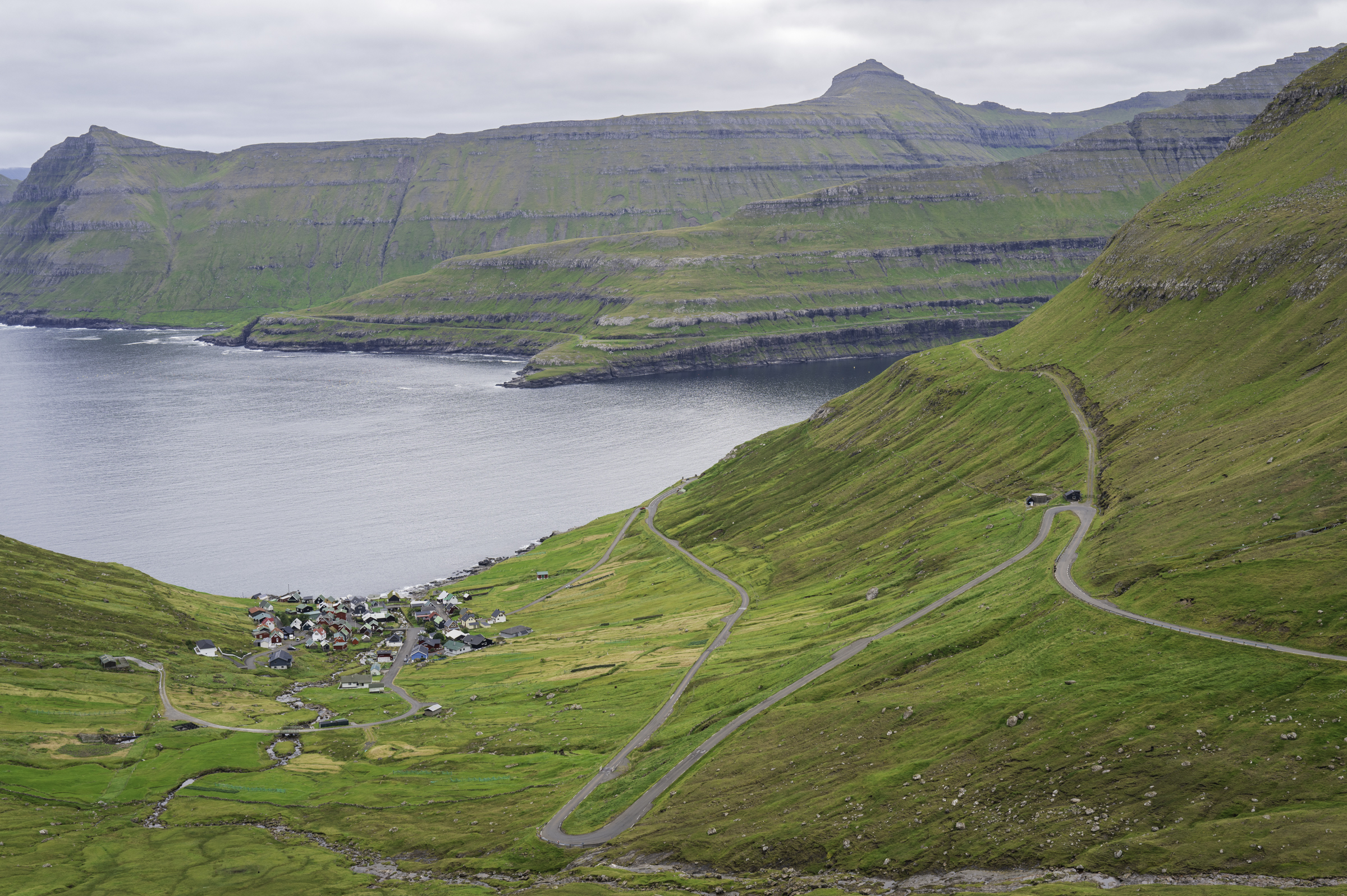
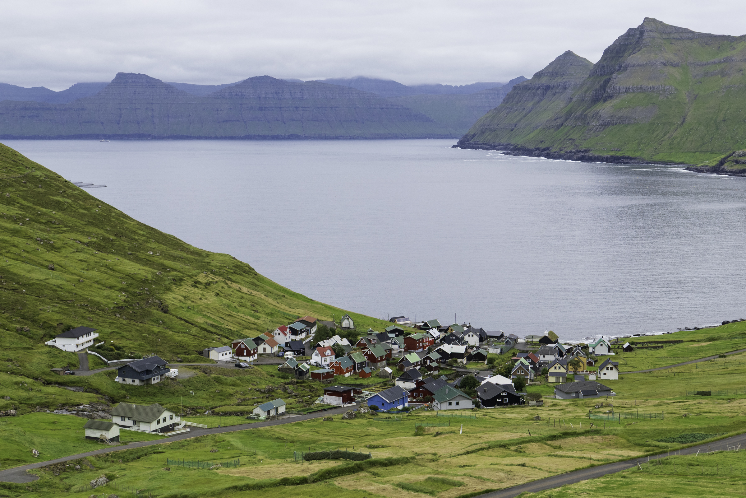
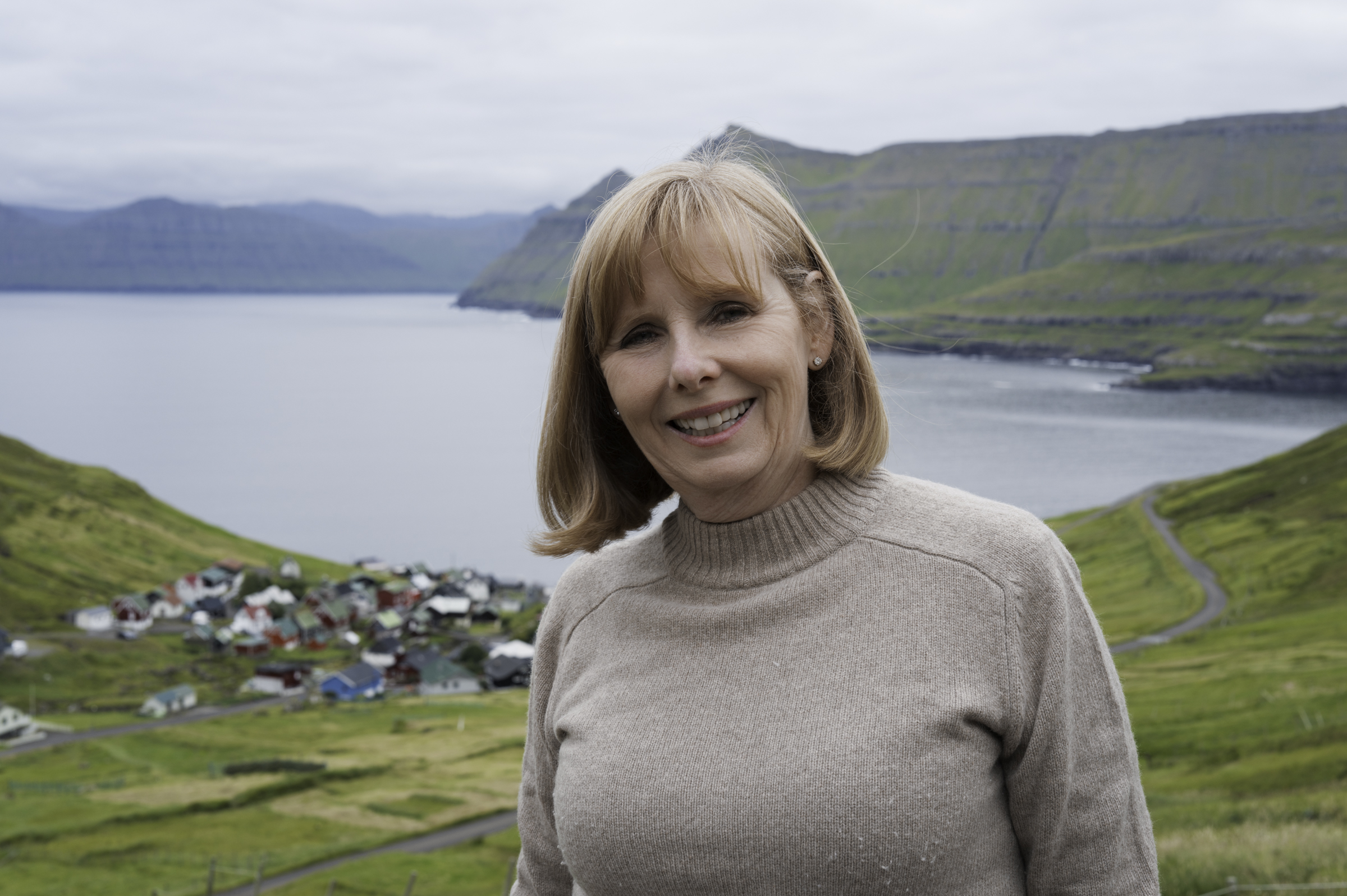
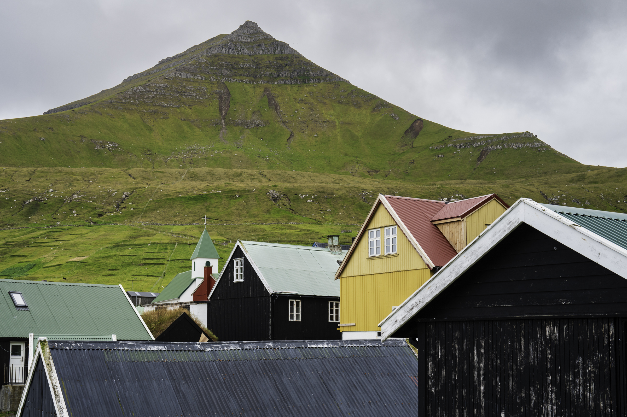
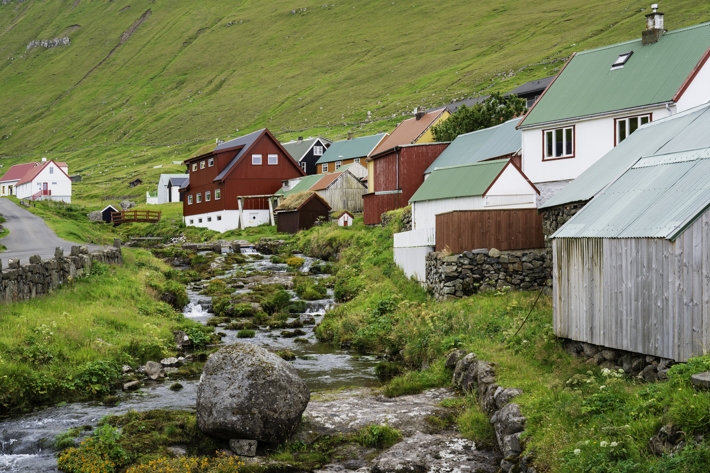
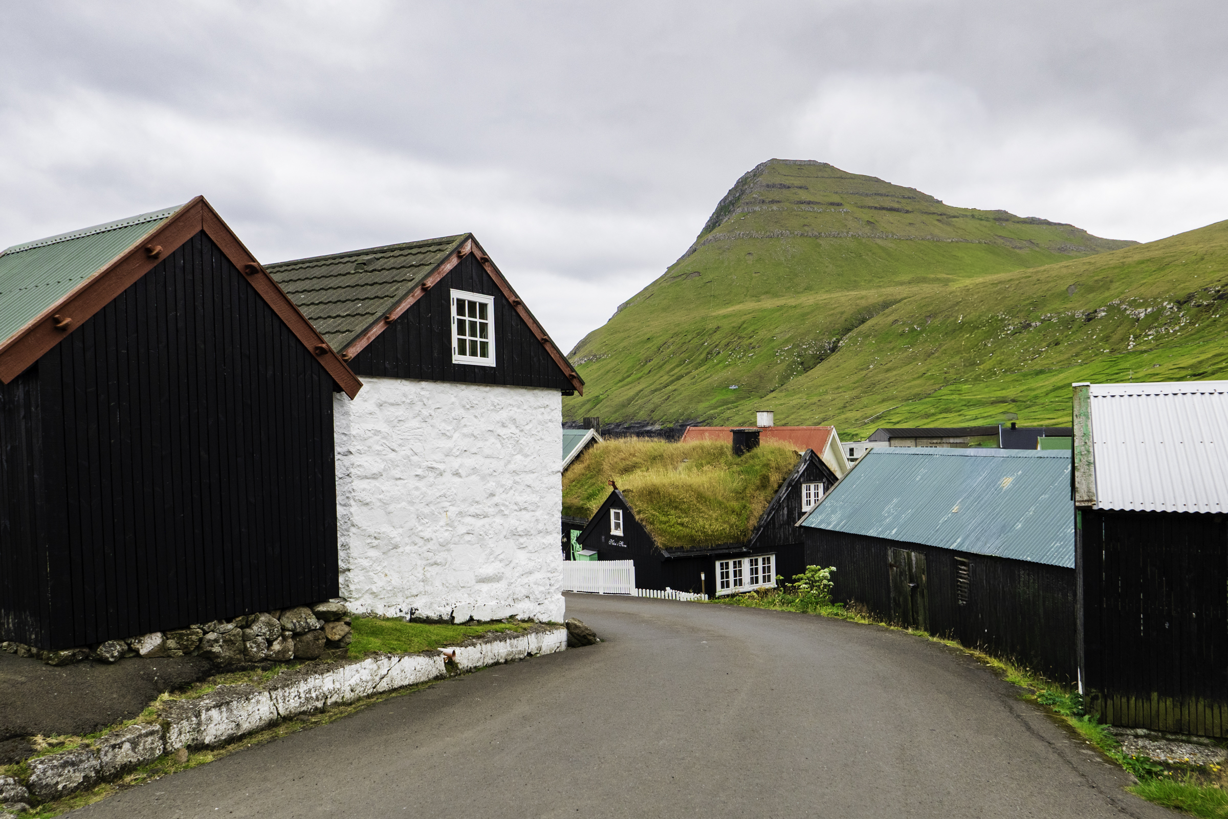
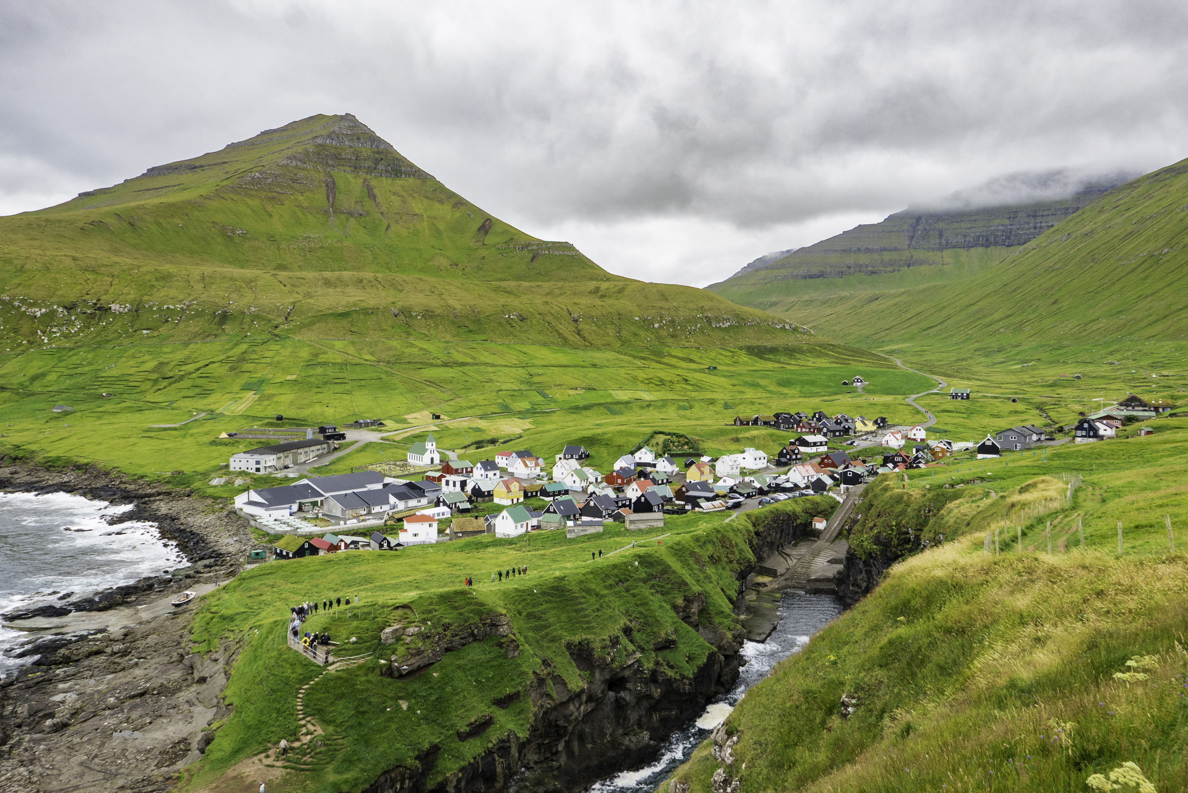
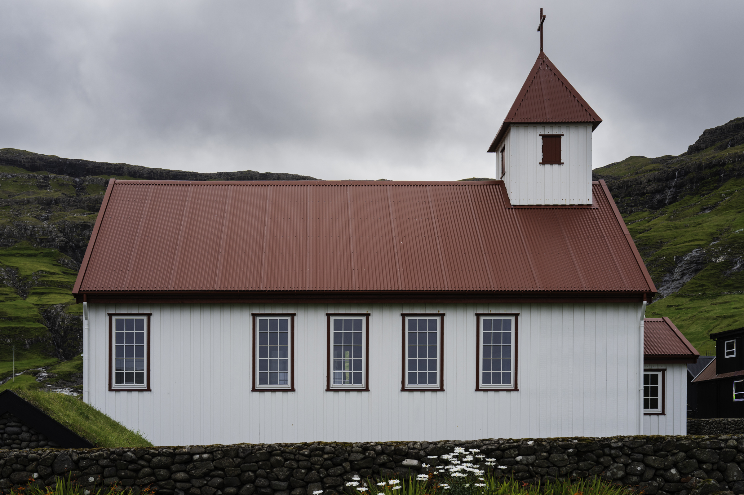
At about 10:45 am, we arrived at Gjógv, a picturesque, remote village on the northeast tip of Eysturoy island. The village is home to only about 50 people, and is named for its dramatic 200-metre-long sea-filled gorge that forms a stunning natural harbour.
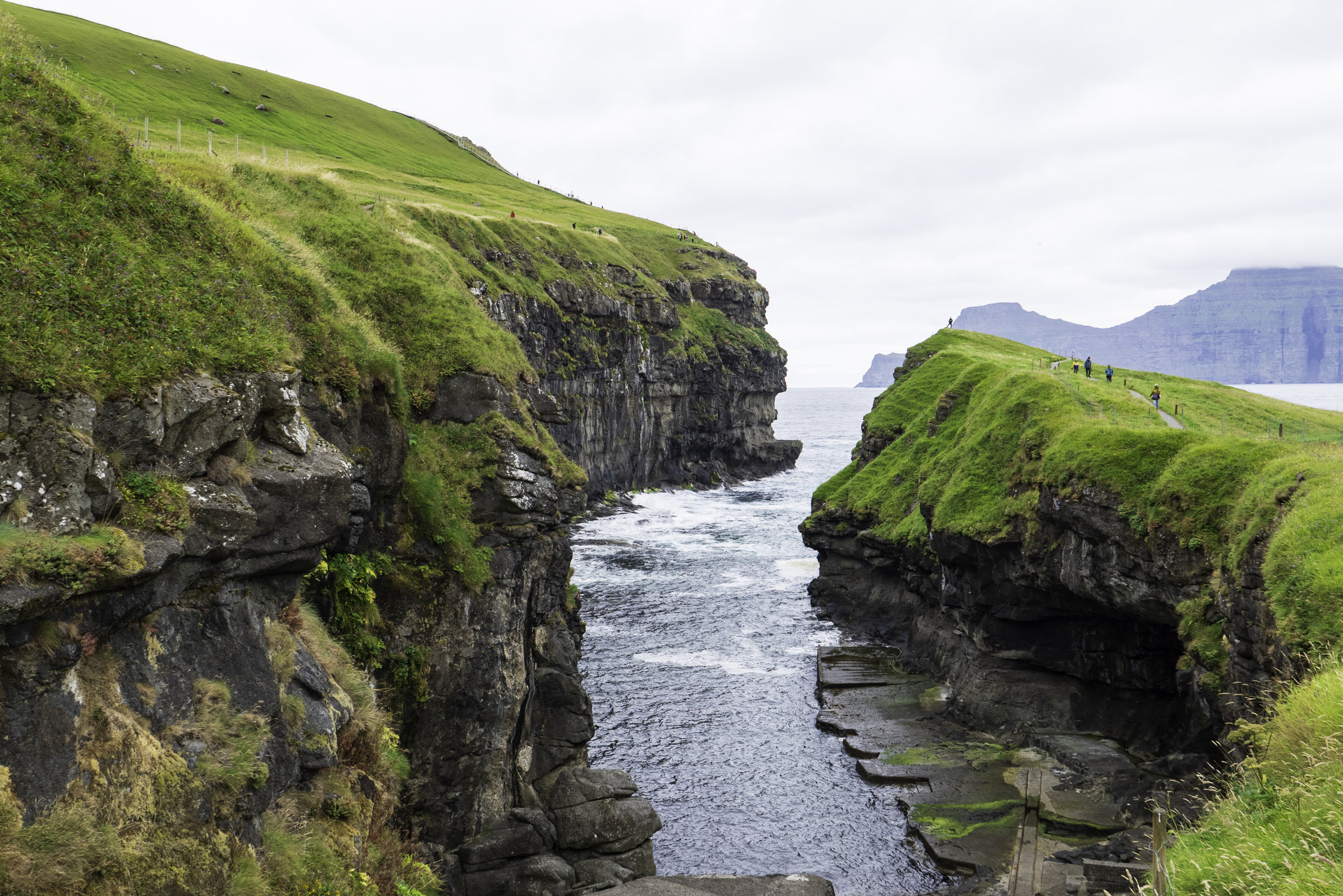
We hiked up the side of the gorge, which yielded a beautiful view of the town.
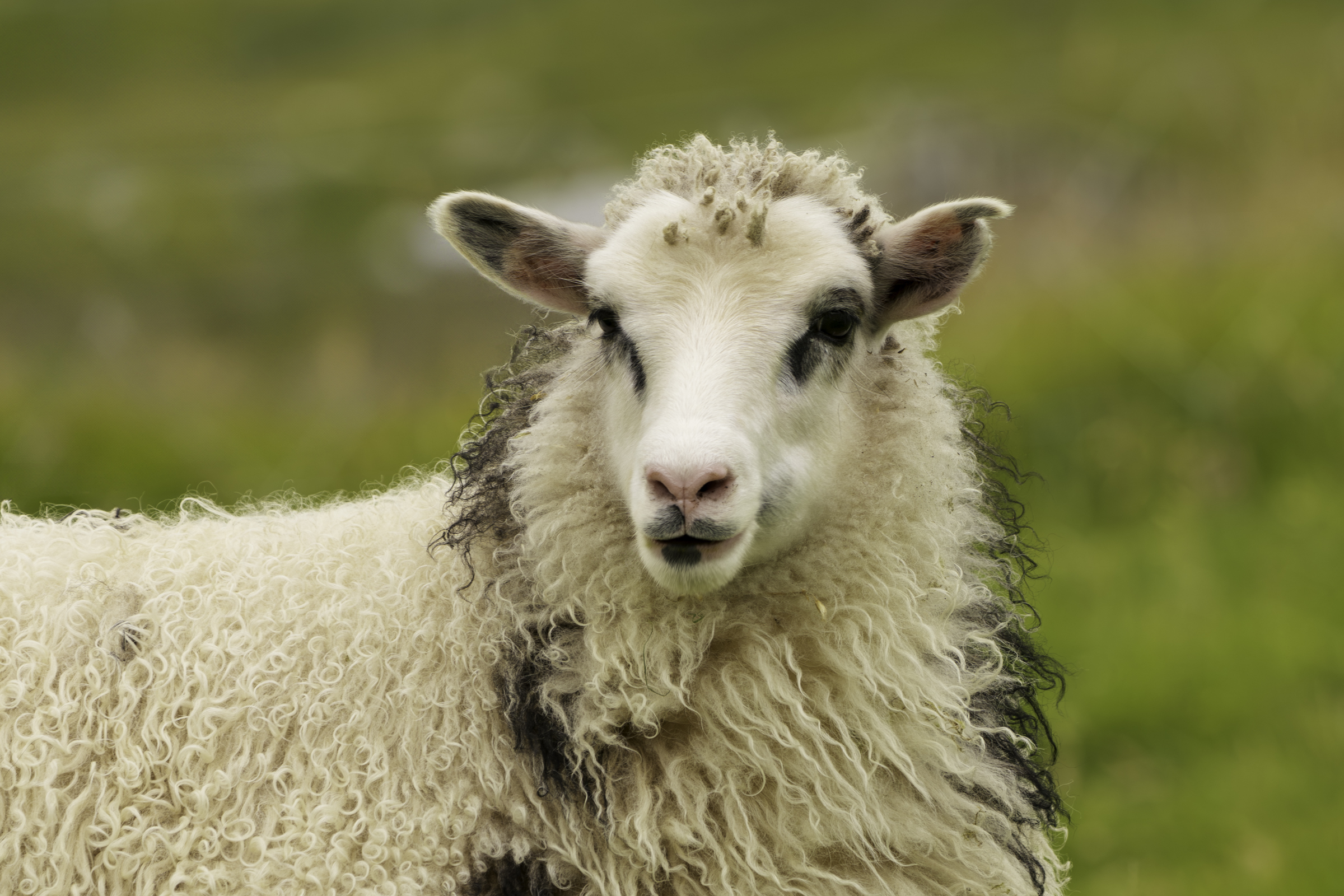
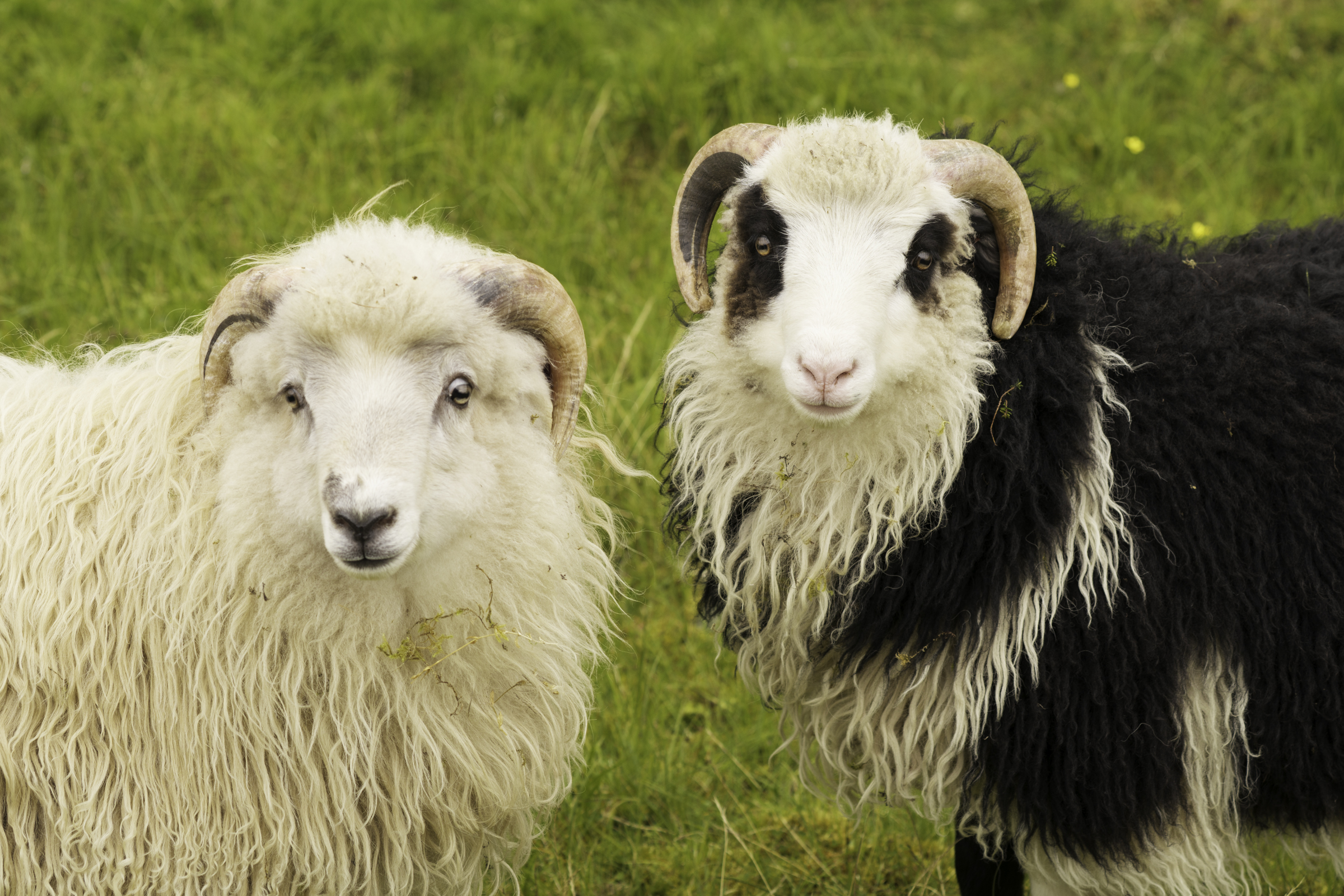
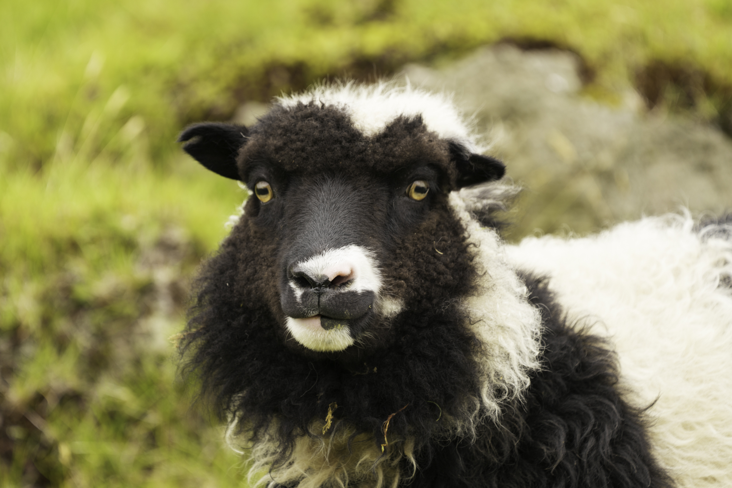
As we walked along the edge of the gorge, we encountered quite a few sheep. The Faroe Islands are famous for their unique breed of Faroese sheep, which are small, hardy, and perfectly adapted to the islands’ rugged landscape and severe weather. Descended from Norse, Icelandic, and Scottish sheep, Faroese sheep have thick, coarse wool in over 300 colour combinations. Sheep freely roam the wild hills and cliffs, far outnumbering the islands’ human population, and their meat (especially fermented lamb called skerpikjøt) is a cornerstone of Faroese cuisine. The sheep are deeply woven into Faroese folklore, traditions, and even the islands’ name: “Faroe” means “Sheep Islands” in Old Norse.
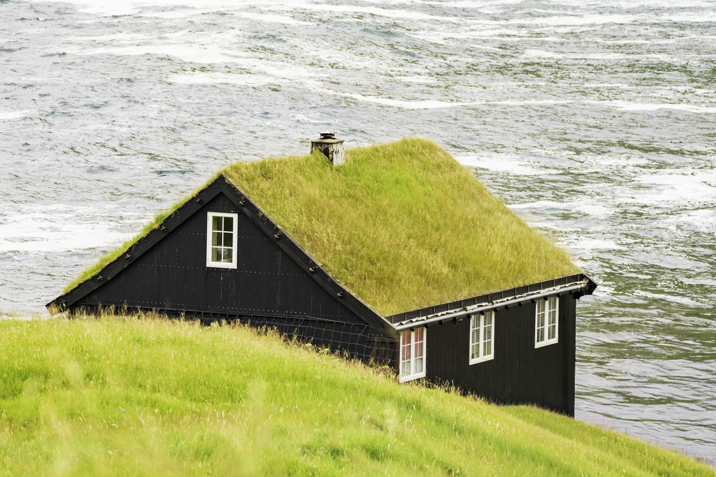
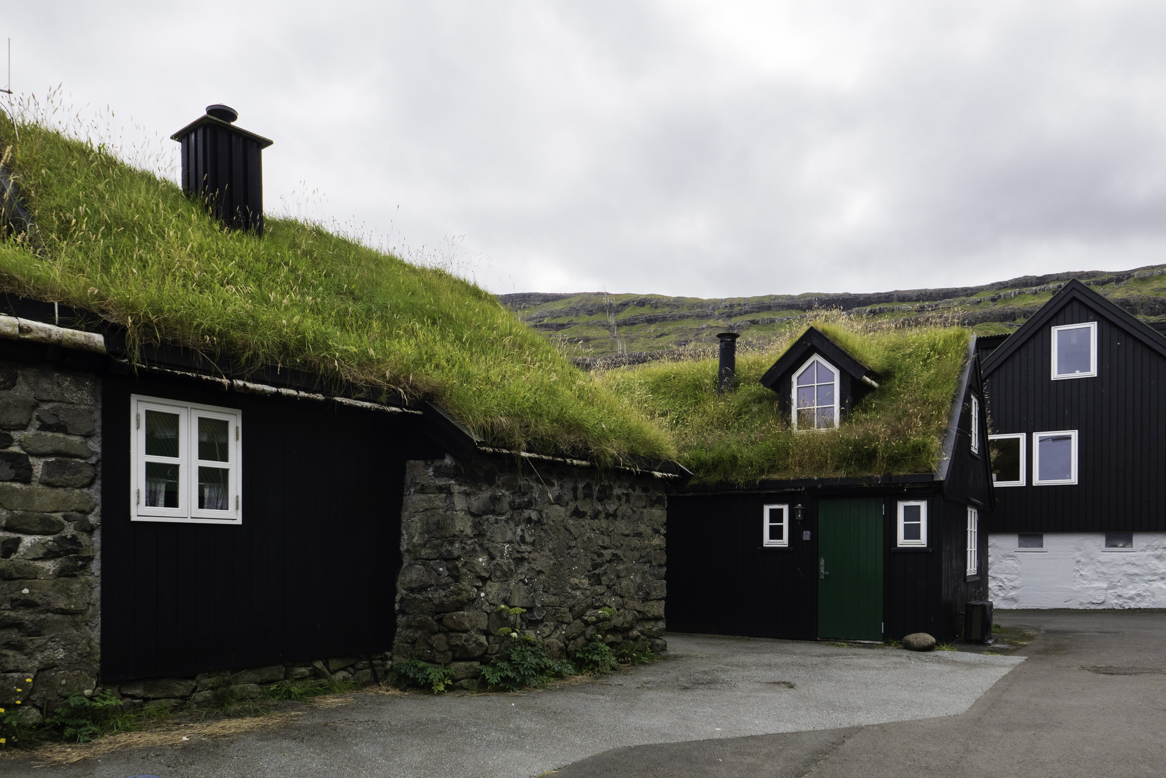
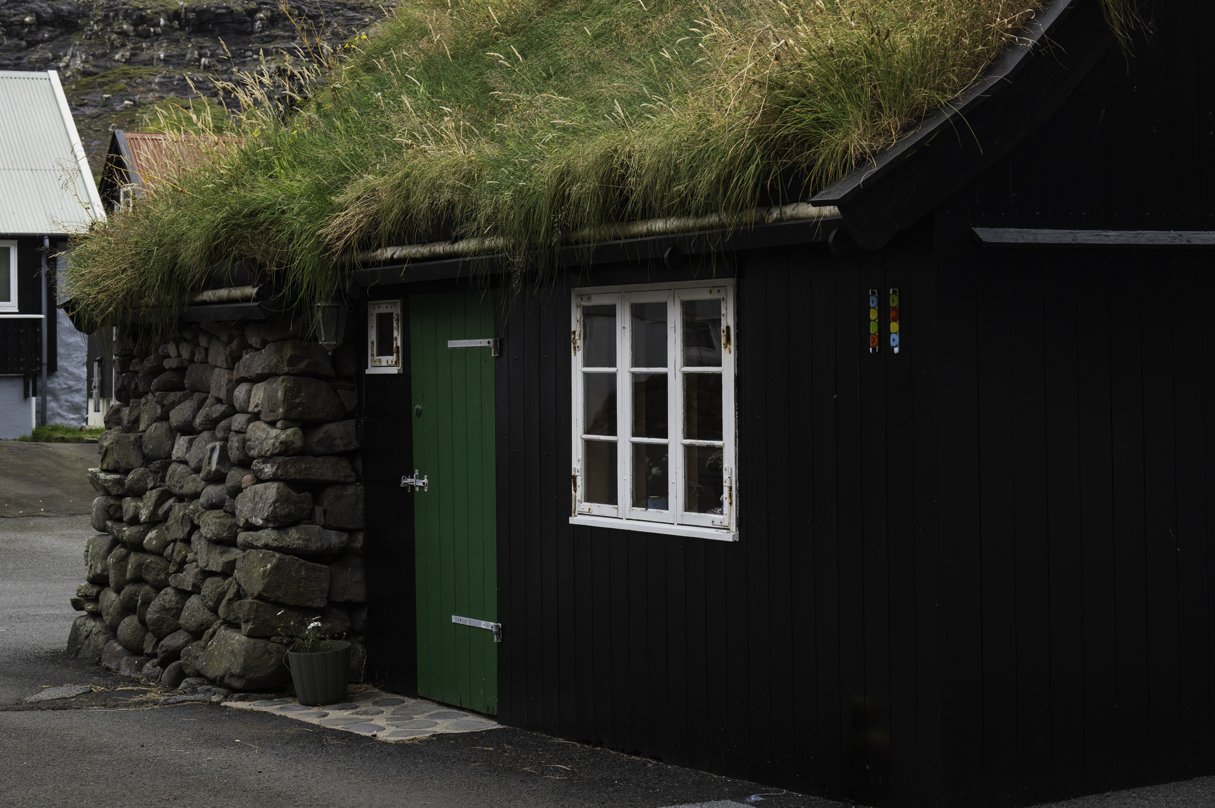
Many houses in the Faroe Islands have a turf roof, a tradition that dates back to the Viking Age. These turf roofs are designed to withstand the islands' wild weather by using local resources like stone, driftwood, and thick layers of grass turf for insulation. We saw a number of such houses in Gjógv.
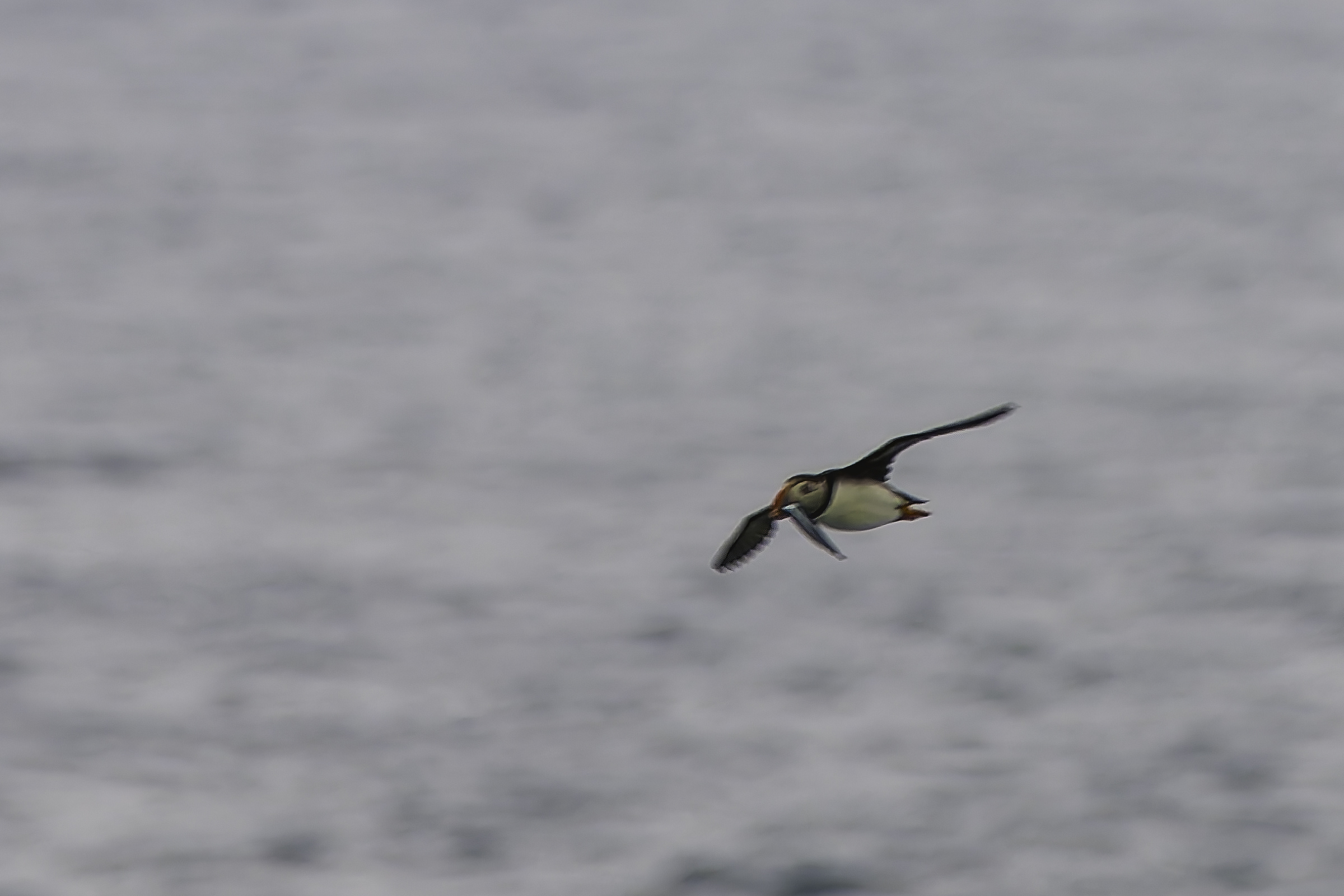
We had been very much looking forward to seeing the very cute puffins that nest in the Faroe Islands. They are generally prevalent from late April to early September. However, this year they had mostly departed early, which was a bit disappointing. We did manage to spot the occasional puffin flying out of a well-hidden nest to hunt for fish, but they are small and fast, so photographing them in flight is rather difficult.
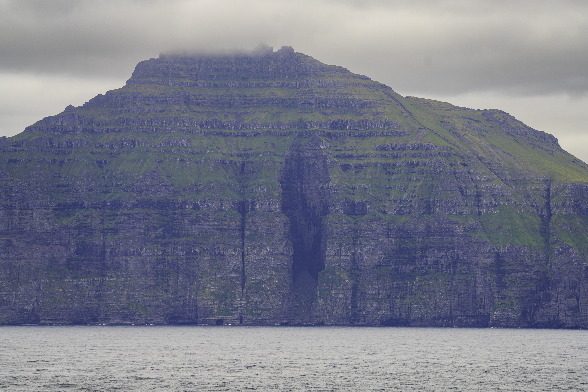
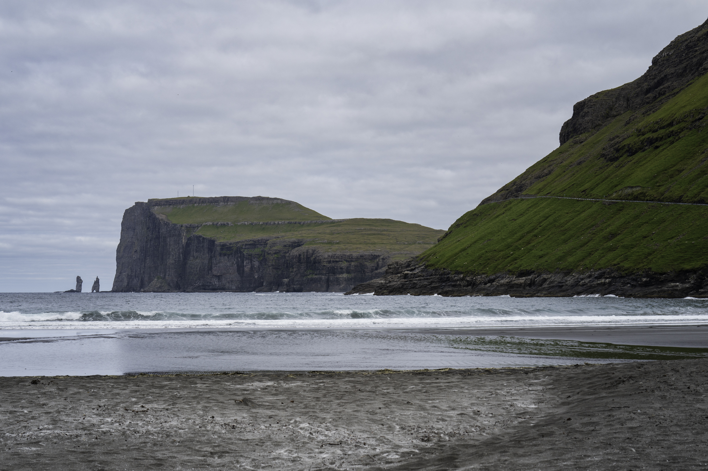
Looking north from the edge of the gorge, we got a nice view of the island of Kalsoy. Kalsoy is famous for its dramatic cliffs and deep valleys, and was used as a filming location in the James Bond film “No Time To Die” as the site of the villain Safin’s hideaway (called “Poison Island” in the movie). There is even a Bond memorial tombstone located on the island to commemorate the filming.
By about 12:30 pm, we decided to head back to the car and keep going. On the walk back down from the edge of the gorge, we met a few more Faroese sheep.
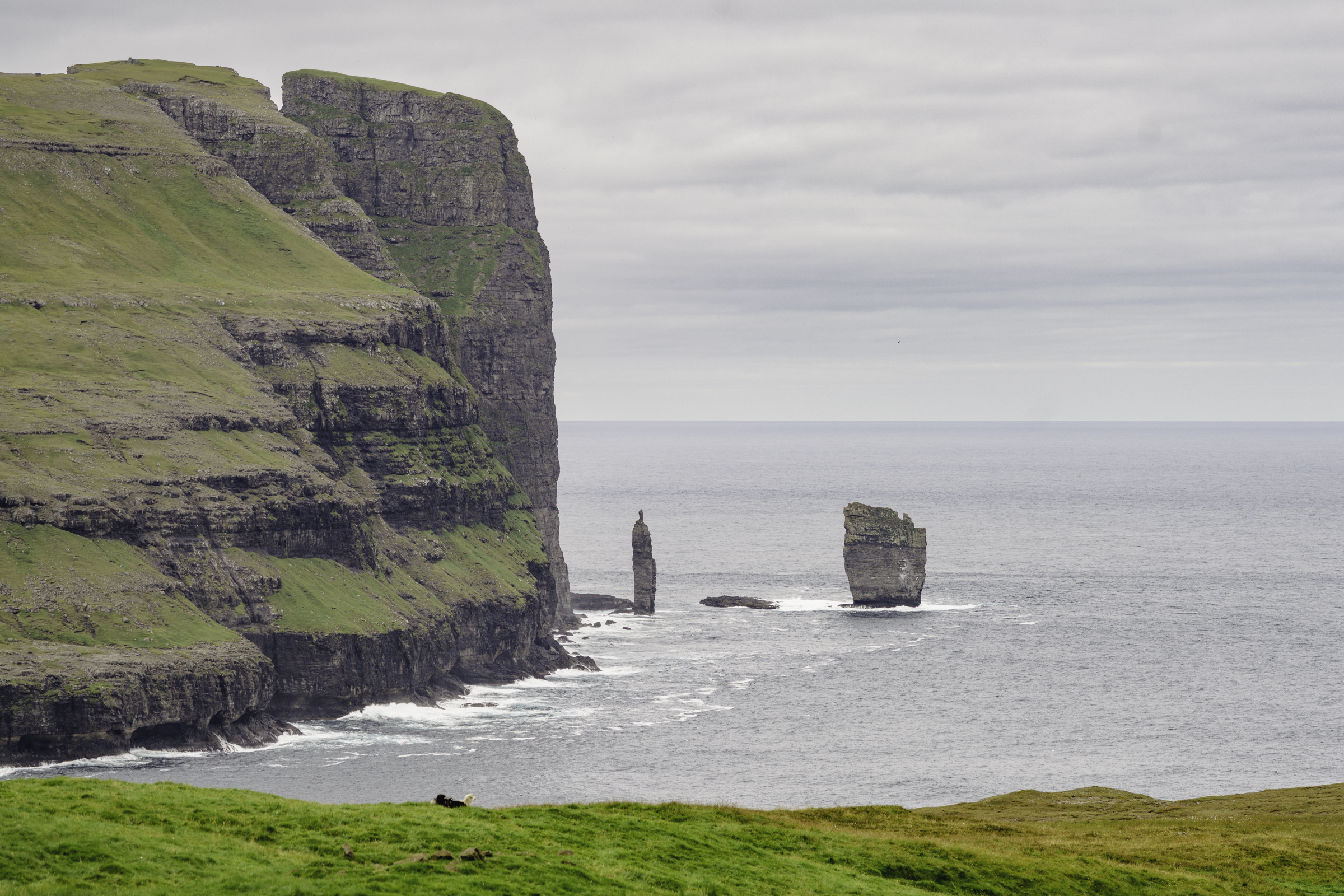
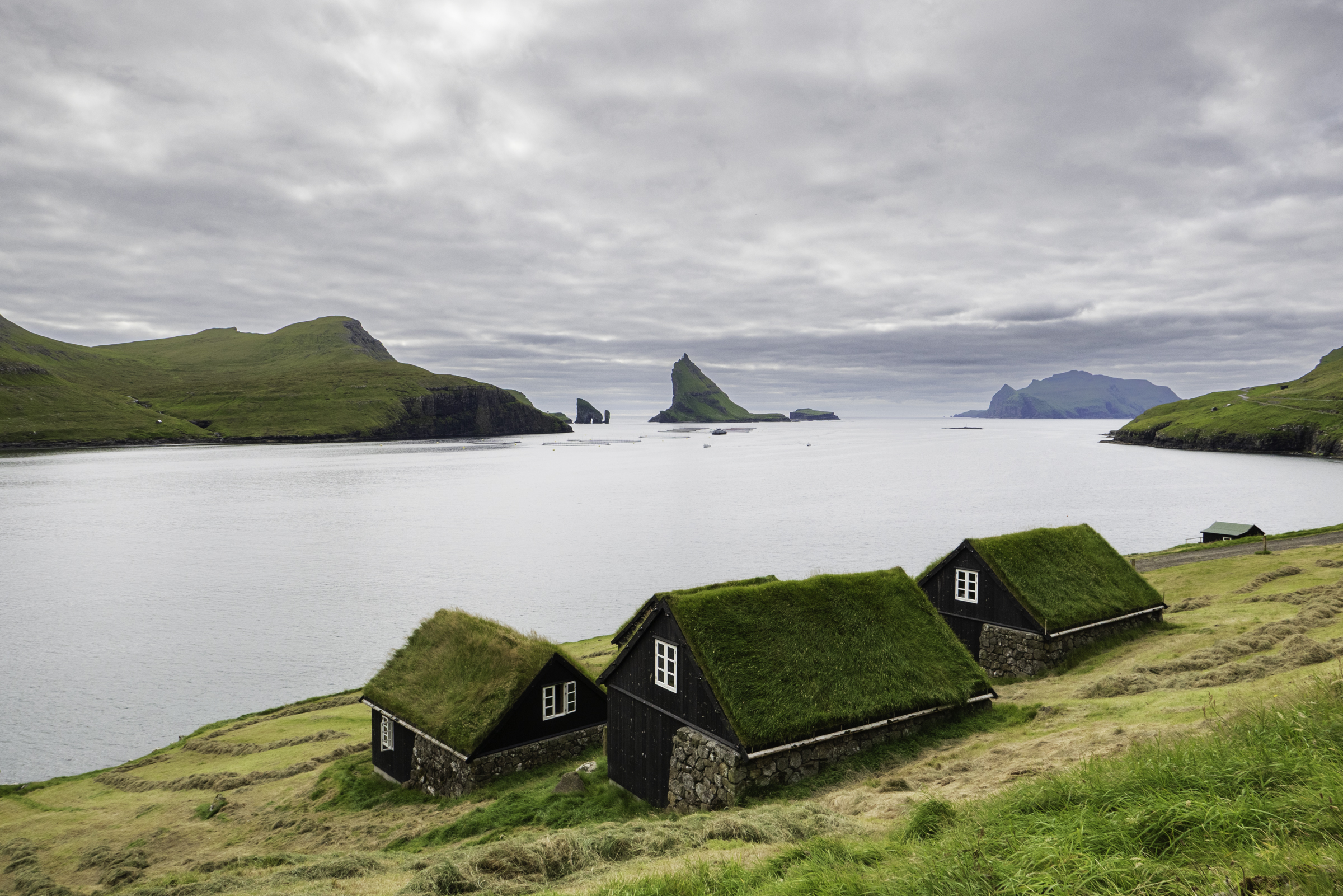
Our next stop was Trøllkonufingur, the “Witch’s Finger” rock formation. This is a 313-metre-tall sea stack off the coast of Vágar island. According to local legend, it is the finger of a giant troll woman who was turned to stone by the rising sun when she tried to pull the Faroe Islands away from Iceland.
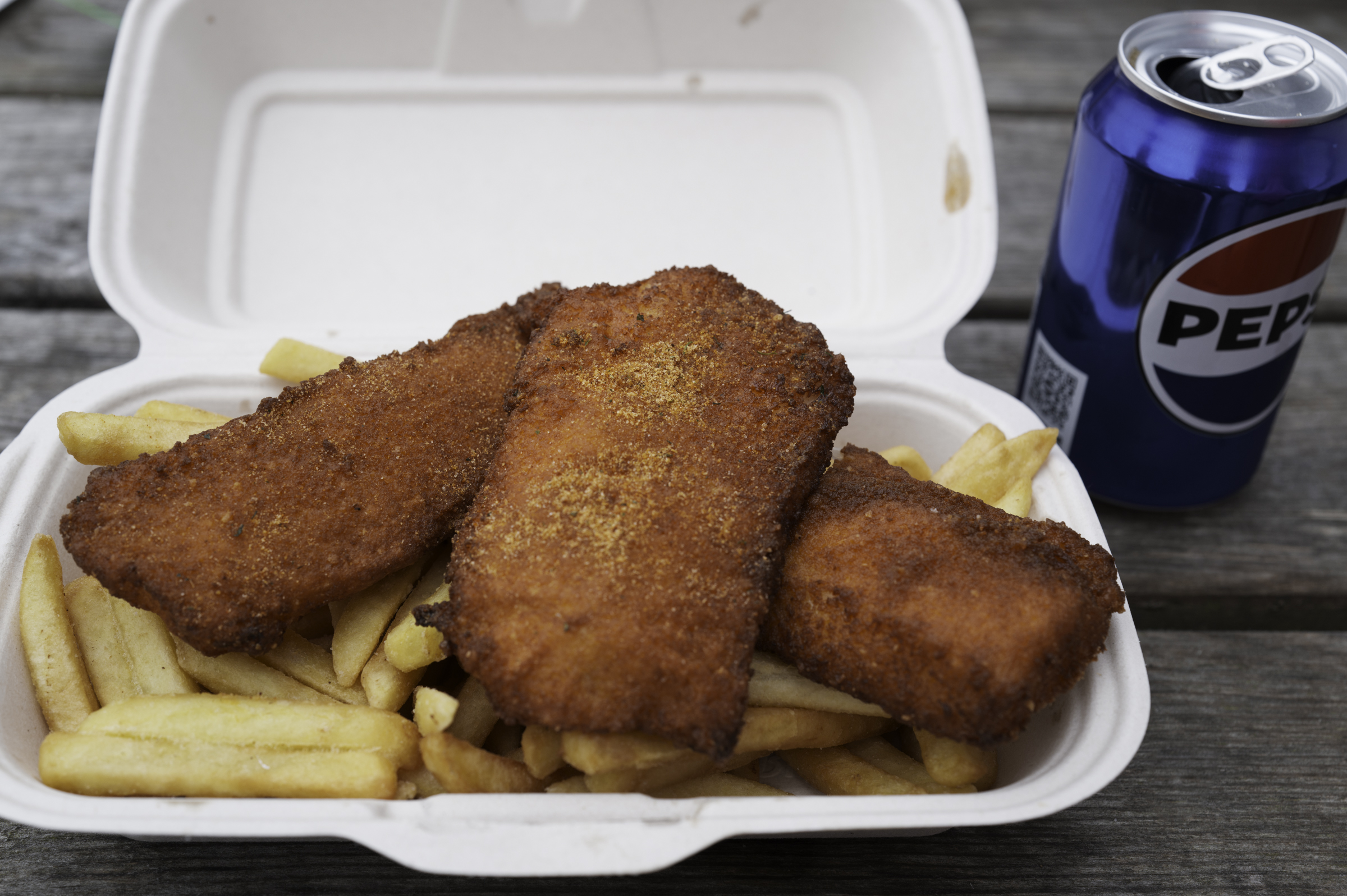
By now, it was time for some lunch. Ditte took us to a fish-processing facility that also served amazing “fisk and kips”. The dining facilities comprised one outdoor table and two benches, so we had to rug up well to brave the (rather cold!) summer day while we sat outside and ate.
After a very nice lunch of excellent “fisk and kips”, we got back in the car and drove to the very pretty village of Tjørnuvík, the northernmost village on Streymoy. The village is very remote, accessible only by one dead-end road. The population of the town at the last census was 71, but it felt smaller than that. The town has a black-sand beach, and even has a surf shop!
Ditte dropped us off for a walk around the town, while she looked for a parking spot. There are only about five parking spaces in the town, so parking was at a premium!
We enjoyed a nice walk around Tjørnuvík. The locals were very friendly, although our understanding of Faroese was limited, to say the least! We bought a hand-made woollen hat (made from Faroese sheep wool) from a nice lady who sold her knitted wares out of her house. We also enjoyed a waffle with home-made jam and cream, prepared outside by a very friendly local Faroese man.
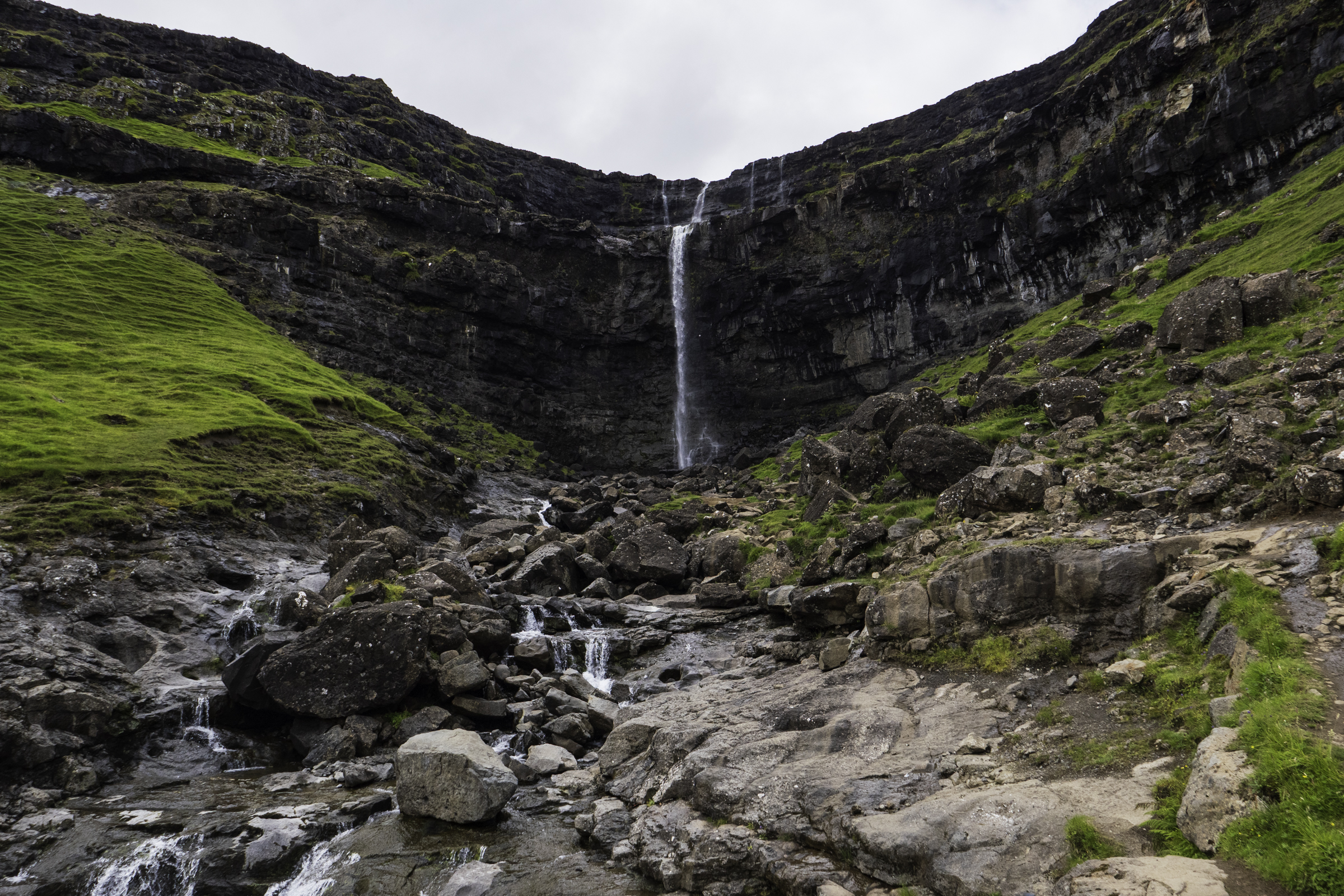
We left Tjørnuvík about 2:45 pm, and headed back out on the road we came in. Not far out of Tjørnuvík, we stopped at the Fossá waterfall. This waterfall is the highest waterfall in the Faroe Islands, with a drop of about 140 metres. Ditte told us that it was quite spectacular after heavy rain (a frequent occurrence in the Faroe Islands!), but today it was relatively tame.
From the waterfall, we drove about 34 kilometres to the tunnel that crossed under the sea from the island of Streymoy to the island of Vágar, where we headed west to the very pretty village of Bøur, which has an official population of 75 people. Bøur is on the north side of Sørvágsfjørður, and offers beautiful views over the sea.

It was about 4:00 pm when we left Bøur for the 50-kilometre drive back to the ship. We took in the beautiful scenery along the way, and chatted to Ditte about life in the Faroe Islands.
At around 5:00 pm, Ditte dropped us back at the ship, where we said goodbye after a wonderful day of exploring the incredibly beautiful Faroe Islands.
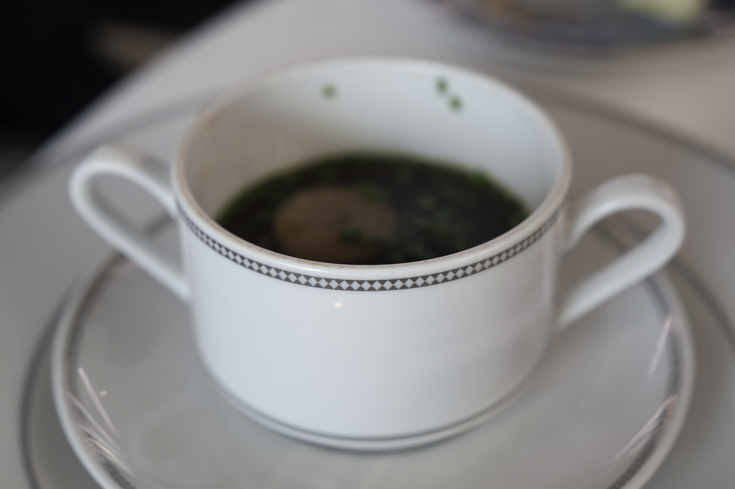
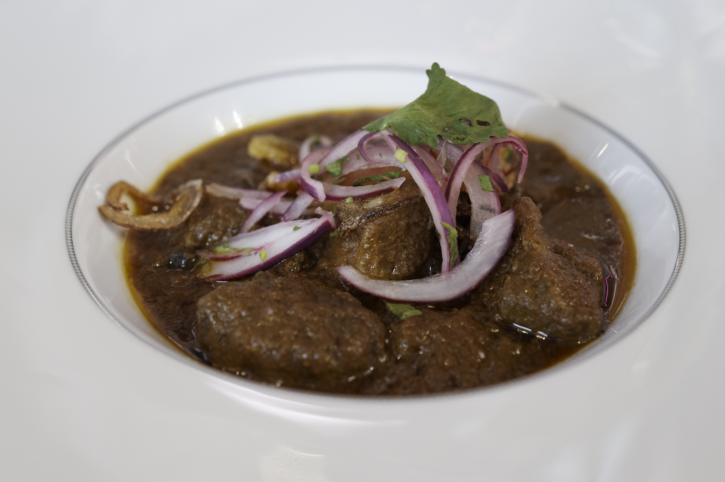
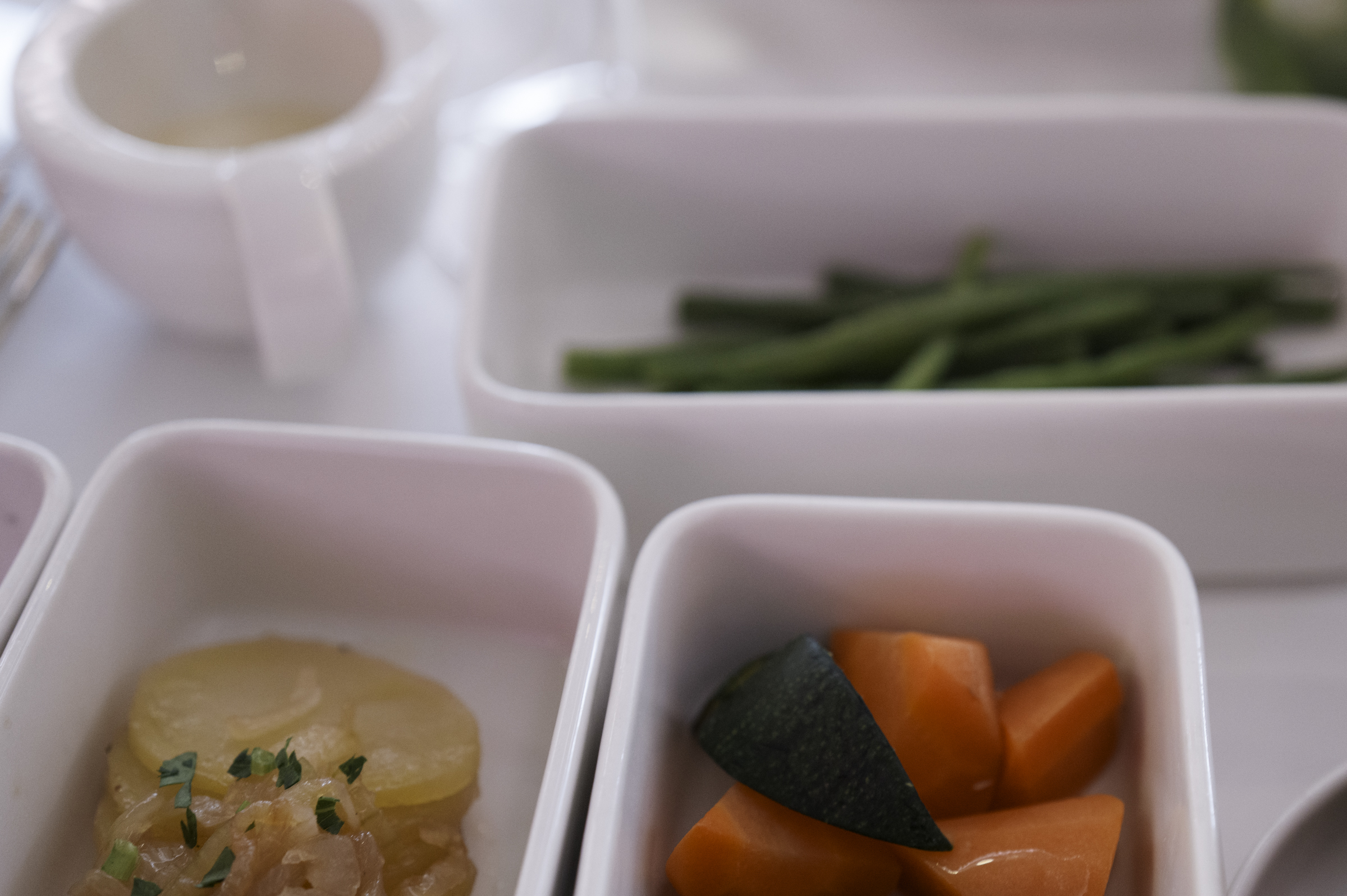
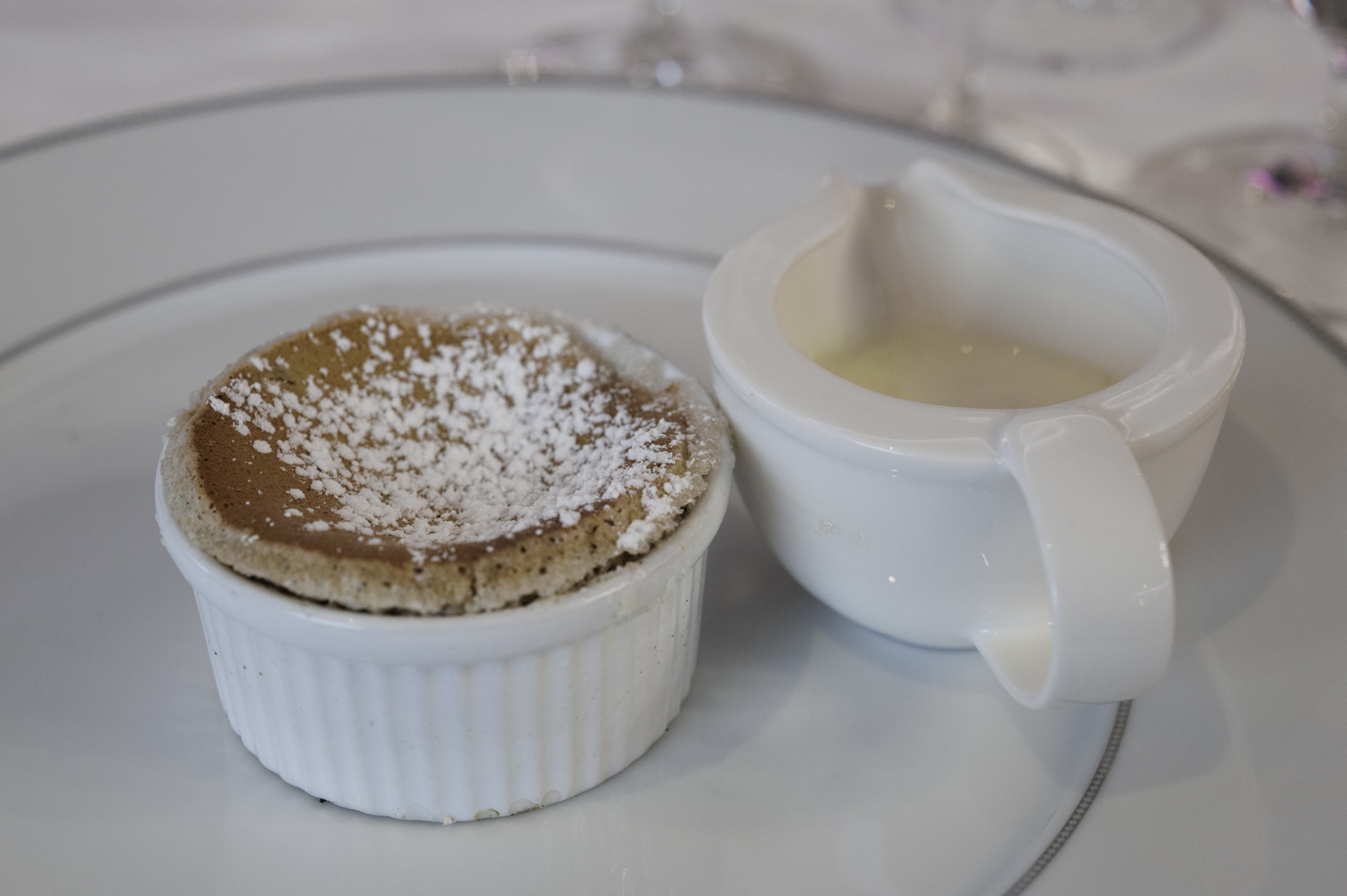
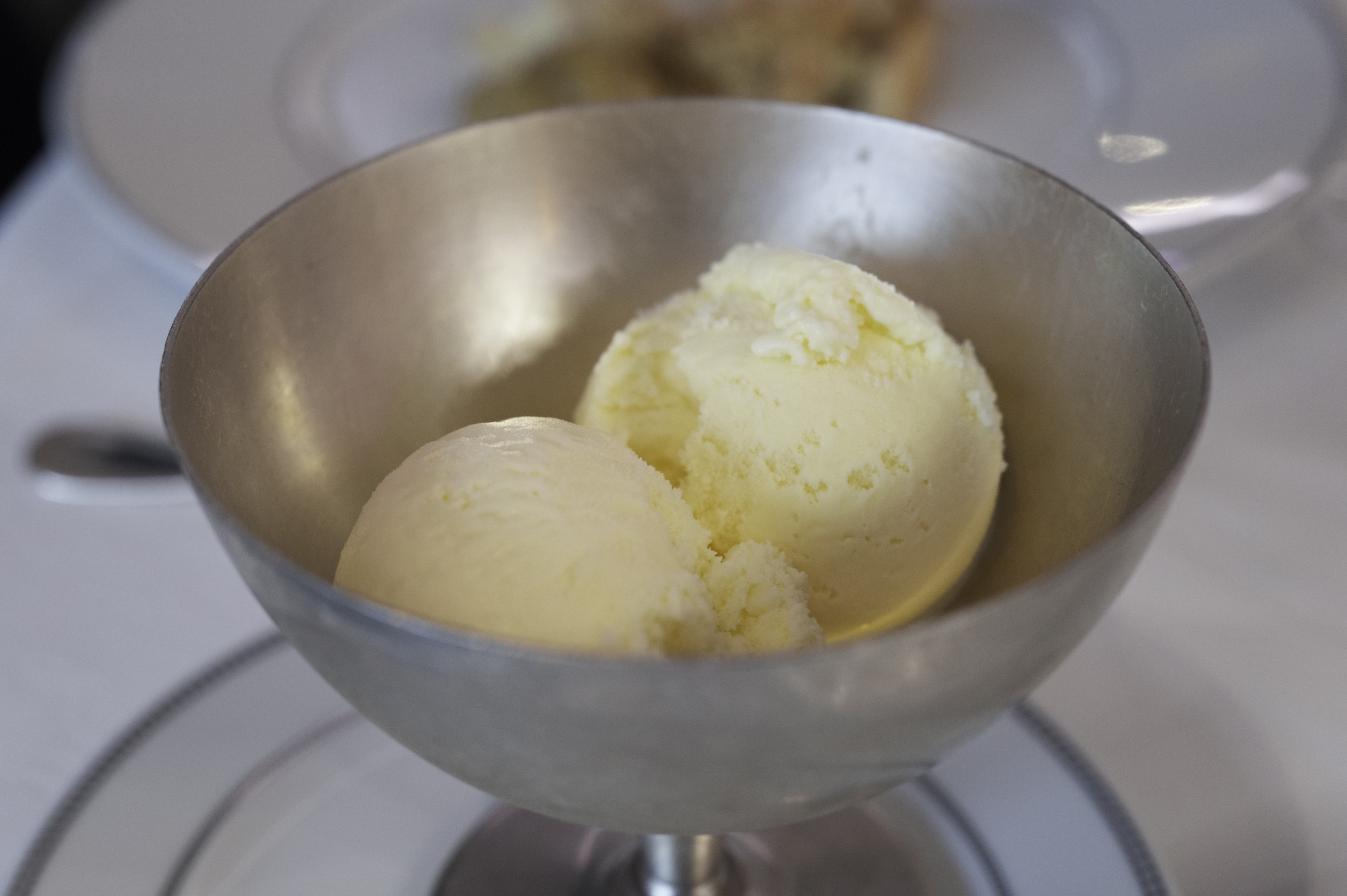
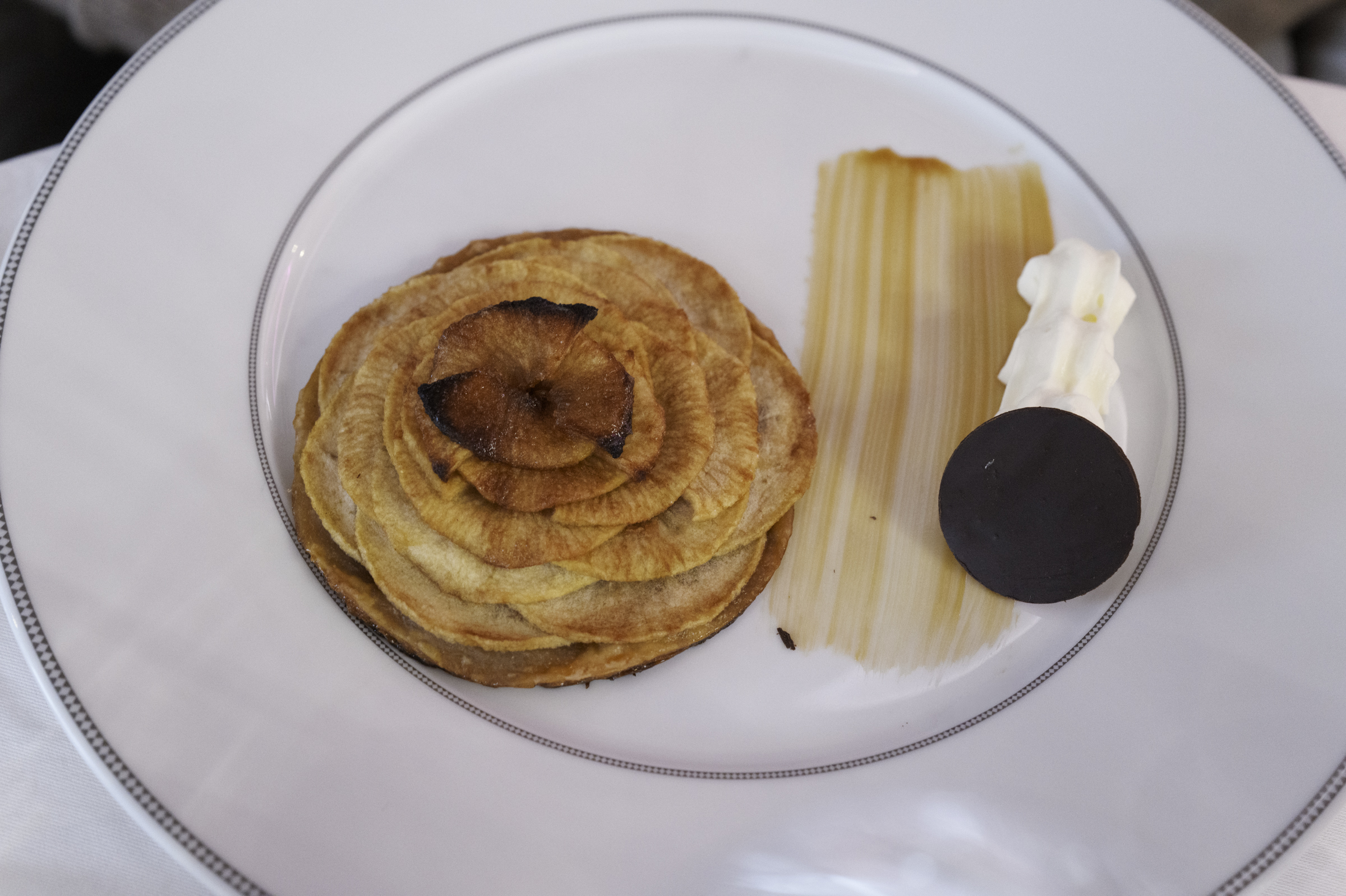
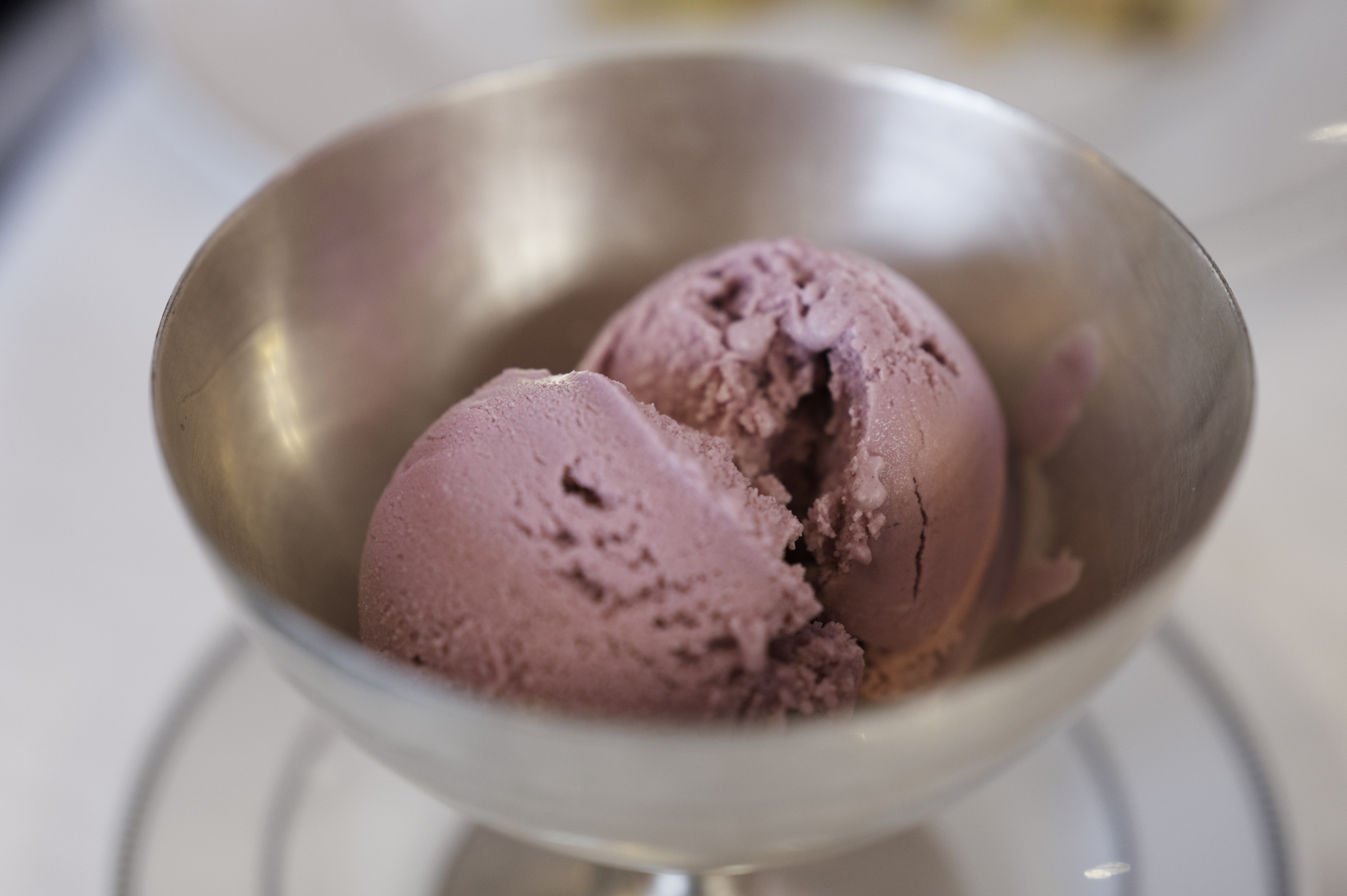
Back on the board the ship, we relaxed for a little while before heading to dinner at the Compass Rose restaurant, where we had a lovely meal.
We finished dinner at about 9:00 pm, and then opted to head for bed after a fabulous day of exploring in an amazingly beautiful, remote, and unspoilt, part of the world.
Tomorrow is a sea day, so we’re planning on just relaxing for the day while the ship sails toward Ålesund, Norway.